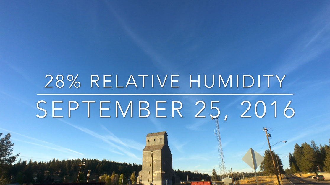
The skies over Chiloquin, OR, were filled with north-south “persistent contrails” 9-25-16 despite the relative humidity at cruising altitude being only 28%. Even uber-shill Mick West says it’s impossible for contrails to form when the atmosphere is that dry.
Here’s a link to the Wyoming Soundings.

at cruising altitude, the air is -30 to -50 degrees. To me, that means that any humidity would be ice, being seen as cirrus clouds.
As usual, I was out on my bike, taking pictures of whatever trails there were to be taken of. I saw a few of what I call “cloud-enhanced” trails that start when the plane gets near the cloud and isn’t created any more when the plane is a little away from the cloud. Those trails last as long as the cloud does.
I saw a couple of other trails, but not persistent and that could have also been “cloud-enhance” but one plane went right over my head, nowhere near any clouds, but the trail didn’t last too long, just looking like a “regular” contrail.
What I’d like to figure out is why don’t ALL planes that fly at those altitudes make some sort of trail, as short as it might be.
Also, once I get a photo of the trail and get home, I go to flightradar24.com to see if I can figure out what plane was there then and going in the right direction. Too often, no plane is shown.
Anyhow, I’m in central Kalifornia, have thousands of pictures, and am still trying to figure it out.
Oh yeah, today’s weather was similar to yesterdays but no obvious cirrus clouds in the sky. Still, I saw three “contrails” (didn’t linger long) and I have to ask why there weren’t more trails from more planes up there at the same time and at the same altitude.
I’ve written a detailed post explaining how to get more accurate RHw and RHi readings. This might be useful to you. https://www.metabunk.org/why-were-there-contrails-today-but-not-yesterday-its-the-weather.t8003/